A Geographic Information Systems (GIS) is a framework for gathering, managing and analyzing data.
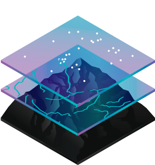
Geographic Information Systems, which are involved in different sectors as a multidisciplinary, integrate many data types. It analyzes spatial location and organizes layers of information into visualizations using maps and 3D scenes. With this unique capability, GIS reveals deeper insights into data, such as patterns, relationships, and situations-helping users make smarter decisions.
Hundreds of thousands of organizations in virtually every field are using GIS to make maps that communicate, perform analysis, share information, and solve complex problems around the world. This is changing the way the world works.
Manage & Respond to Events
GIS delivers real-time situational awareness.
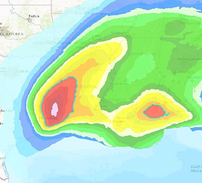
This hurricane and cyclone map shows potential impact to people and businesses, probable track of storms, and storm surge.
Monitor Change
If a picture tells a thousand words, a map tells a thousand pictures.
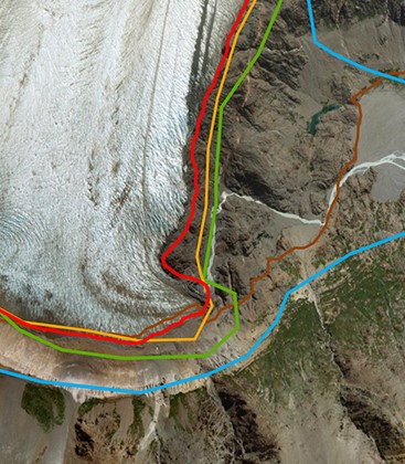
This map starkly reveals the extent of glacier retreat in the Southern Hemisphere.
Perform Forecasting
Use GIS to forecast traffic.
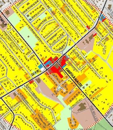
This map highlights challenges at an intersection in Fort Mitchell, Kentucky, where forecasting shows traffic is expected to worsen based on land use changes.
Understand Trends
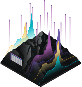
GIS helps you gain insight into data that might be missed in a spreadsheet.
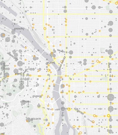
This map measures job growth or losses in different industries and quantifies local competitive advantage.
How Geographic Information Systems Works?
Maps
Maps are the geographic container for the data layers and analytics you want to work with. GIS maps are easily shared and embedded in apps, and accessible by virtually everyone, everywhere.
Data
GIS integrates many different kinds of data layers using spatial location. Most data has a geographic component. GIS data includes imagery, features, and basemaps linked to spreadsheets and tables.
Analyzes
Spatial analysis lets you evaluate suitability and capability, estimate and predict, interpret and understand, and much more, lending new perspectives to your insight and decision-making.
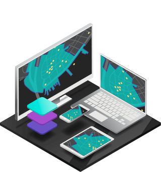
Applications
Apps provide focused user experiences for getting work done and bringing GIS to life for everyone. GIS apps work virtually everywhere: on your mobile phones, tablets, in web browsers, and on desktops.